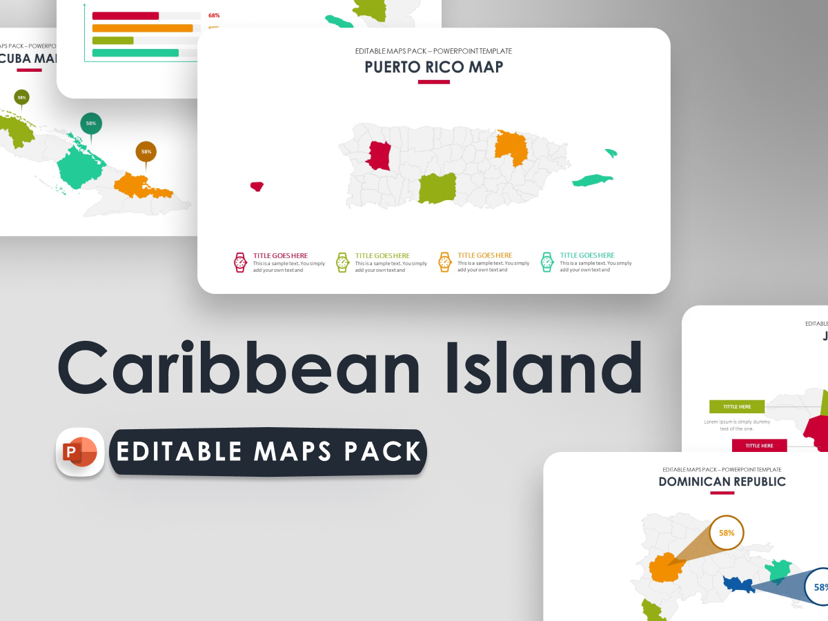
Caribbean Island Countries Map – Presentation Template is an asset to help you make the business illustration in the media presentation easier. With a variety of modern design choices, making your presentation structure easier to understand and stylist.
Easy to set and change colors according to your taste are the main features of this template presentation, because all elements are vector.
No graphic skills required.
Included:Caribbean Island Countries Map – Presentation FileIcon PackDocumentation
Features:Each Template is 7 slidesFull Responsive 16×9 HD Ratio DisplayVector Shape All ElementsMaster Slide Options (Drag and Drop to Upload Images)Bonus Included: 1000+ Vector Icons as shapesFull & Easy EditableCreative & Professional WorkFree font used
Stock Photos are not included